- Photos & Map
How would you like to arrive?
- Description
- Good to know
- Nearby
- 6:00 h
- 13.23 km
- 426 m
- 909 m
- 274 m
- 803 m
- 529 m
- Start: La Gomba
- Destination: Domodossola
The fifth stage of the Stockalperweg leads from Bognanco (IT) to Domodossola (IT).
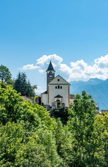
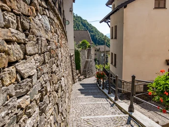
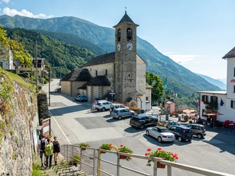
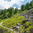
Descent through the hamlets of the dispersed village Bognanco, which today is only a shadow of the once flourishing thermal spa town. Before the bridge, you leave the place Bognanco Fonti and continue on the left valley slope towards Domodossola. Through light forests, past magnificent churches and typical Italian stone houses over paved stones, the path reaches the gates of the town of Domodossola. In Mocogna follows the last ascent before reaching the pilgrimage site "Sacro Monte Calvario". Along the Way of the Cross, the descent into the town of Domodossola follows.
ViaStockalper hiking packages
Book hiking holidays on the Stockalperweg from Switzerland to Italy. Follow in the footsteps of the ingenious Kaspar Stockalper over the Simplon Pass.
Brig–Gondo in 4 days. Price from CHF 499.– including hotels, luggage transport, and more.
Brig–Domodossola in 7 days. Price from CHF 969.– including hotels, half board, luggage transport, and more.
Good to know
Pavements
Best to visit
Directions
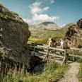
From Graniga, it goes down on beautiful mule tracks to San Lorenzo and then to Bognanco Fonti. At the end of the village, near a green-colored house, take the D00 path towards Ca' Monsignore, which crosses a beautiful stone bridge at the gorge of the Rio Rabianca. The path first goes halfway up the hill and then steeply down to the stream, which you cross over a spectacular stone bridge and soon ascend to the oratory of Dagliano.
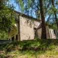
Then it continues first slightly uphill and then flat on a beautiful mule track to Monteossolano. You pass a church dedicated to San Gottardo and continue on an asphalt road until you reach Pregliasca. From here, it goes first along the slope on a firebreak, past some streams, then down a steep mule track in the forest to Cisore and then on a wide and well-maintained paved mule track to Mocogna.
Cross the road bridge over the T. Bogna and descend along the main road to reach Castanedo. From here, take a wide, well-maintained mule path leading to Vagna (Maggianigo). Around Vagna, many chapels and oratories scattered in the forest tell local stories.
Then you briefly ascend after Croppo and continue first on a forest path and then on a field path. On a beautiful stepped and mule track, it finally leads to the square of the Sacro Monte Calvario, a UNESCO World Heritage Site. Via the Via Crucis or the Way of the Cross, you descend to Domodossola and shortly reach the historic center and the train station.
Tour information
Cultural Interesting
Stop at an Inn
Equipment
Directions & Parking facilities
Domodossola is connected to the PostBus Simplon line. There are regular direct train connections from Domodossola to Brig.
The Val Bognanco is accessible by the Comazzi bus. More here
Additional information
Brig Simplon Tourism
The hike is at your own risk. Insurance is the responsibility of the hiker. The hiking trails on Italian soil are not all impeccably maintained and signposted. It is important to carry good maps.
On the Italian side, the path is marked with D00.
Literature
"Hiking in Simplon"
The publication "Hiking in Simplon" (2008) is a real treasure trove of stories and facts from various fields.
Dr. Klaus Anderegg, as editor, composed the contributions of numerous authors into an impressive overall view. On 368 pages, eight routes of the unique Alpine and mountainous Simplon region are presented with a great variety of natural, cultural and historical treasures and curiosities.
CHF 48.— plus packaging and shipping costs; available at the Ecomuseum Simplon, 3907 Simplon-Dorf, ecomuseum@simplon.ch (ISBN: 978-3-905756-31-9)
Author´s Tip / Recommendation of the author
Book your hiking experience as the ViaStockalper hiking packages and follow in the footsteps of the great Kaspar Stockalper.
Safety guidelines
The best hiking time on the ViaStockalper is from early June to mid-October. The suggested route runs on well-developed and secured hiking and mountain paths.
The hike is at your own risk. Insurance is the responsibility of the hiker.
Local tourist offices provide information on the current condition of the hiking trails.
Map
Nearby


