- Photos & Map
How would you like to arrive?
- Description
- Good to know
- Nearby
Download GPX file
- 2:00 h
- 5.07 km
- 262 m
- 262 m
- 1,745 m
- 2,005 m
- 260 m
- Start: Bus stop, Schallbett
- Destination: Bus stop, Schallbett
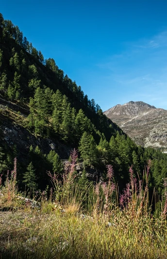
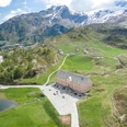
You start your hike in the Schallbett, where the post bus stop is located. Follow the Alpine Passes Trail in the direction of the Simplonpass. The path leads you with varied impressions over the gallery roofs of the Simplonpass road.
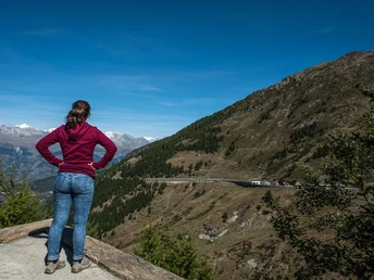
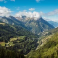
Let your gaze wander from Simplonpass to the right. The open panorama stretches from the Tochuhorn, Staldhorn, Glishorn over the Bietschhorn. At the end of the Tafernal valley and the Saltina gorge, the Alpine town of Brig is visible. You can see the sunny mountain ridge Rosswald well in the foreground, while behind it you can admire Riederalp and Bettmeralp on the Aletsch Glacier.
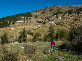
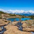
Once you reach the Simplon Pass, follow the serpentines of the Stockalperweg down into the Taferna valley. Before you reach the Taferna stream, turn right and climb towards «Tschiife». Sheep and horses spend the warm summer months here. You cross the «Chalti Wasser» stream, which carries the meltwater from the Chaltwass glacier below Monte Leone into the valley. Follow the path back to the starting point - the Schallbett post bus stop.
Good to know
Pavements
Best to visit
Directions
Schallbett - Simplonpass - Lärchmatte - Breits Loib - Tschiife - Schallbett
Tour information
Loop Road
Stop at an Inn
Equipment
Equipment suitable for the weather is indispensable. Good, sturdy mountain boots are strongly recommended for all hikes.
Directions & Parking facilities
There are only a few parking spaces available at the Schallbett. If you are arriving by private vehicle, it is better to start the circuit on the Simplon Pass.
There are more parking spaces available on the Simplon Pass than in Schallbett.
Travel by post bus to the bus stop "Rothwald, Schallbett".
The hiking trail starts at the bus stop.
Additional information
Further information is available at the tourist office in Brig or Simplon.
Literature
Books and documents on the history of the Simplon region are available at the tourist office in Brig.
Author´s Tip / Recommendation of the author
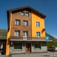
At the end of the round hike, you can review the hiked tour from a distance in the restaurant Schallbett.
Safety guidelines
The hike is at your own risk. Insurance is the responsibility of the hiker.
Map
You can obtain the SwissTopo hiking map "Simplon" from the tourist office in Brig.
Nearby


