- Photos & Map
How would you like to arrive?
- Description
- Good to know
- Nearby
- 0:45 h
- 1.43 km
- 65 m
- 62 m
- 1,618 m
- 1,698 m
- 80 m
- Start: Reckingen-Gluringen, Bawald
- Destination: Reckingen-Gluringen, Bawald
The theme trail Schutzwald is not accessible this summer 2022.
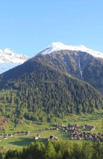
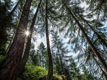
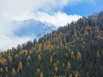
A protective forest protects people and infrastructure from natural hazards such as avalanches or rockfall. In the Goms, most of the forest area is designated as a protective forest. In the course of time, the demands on the protection forest have increased. Growing infrastructures (railways, roads, settlements) require a corresponding reduction of the risk of natural hazards. Protection forests must therefore be specially maintained and managed by the Forest Service. On 11 post boards you can find out how this is done in the Ritziger Bawald of Forst Goms. In addition to the boards, you can also play an audio guide on your mobile phone. In it, the forester explains what has to be taken into account when maintaining the protection forest. He will also show you more exciting details. The theme trail Schutzwald is integrated into the Gommer Höhenweg and can easily be walked on as part of the Münster-Bellwald hike. Note: You need a smartphone to play the audio guide. Download the app from GPS tracks. You must scan the QR code on each post board to start the Audio Guide.
Good to know
Best to visit
Directions
Equipment
Directions & Parking facilities
Additional information
Literature
- Summer map of Obergoms with hiking paths and bike trails
- Holiday companion
Author´s Tip / Recommendation of the author
Safety guidelines
Local conditions may entail changes to routes.Take a map with you or download the complete description of the route with a large-scale map.
Carry additional sun protection with you. UV rays at high altitudes can be very strong, especially in winter, even when the sky is overcast.
Map
National maps 1:25'000 Swisstopo: 1250 Ulrichen / 1270 Binntal
Nearby


